Add page content here.
Partnering with Five Bay Area Community Organizations to Build Local and Regional Resilience
- By: Zoe Siegel, Greenbelt Alliance
- | August 29, 2024
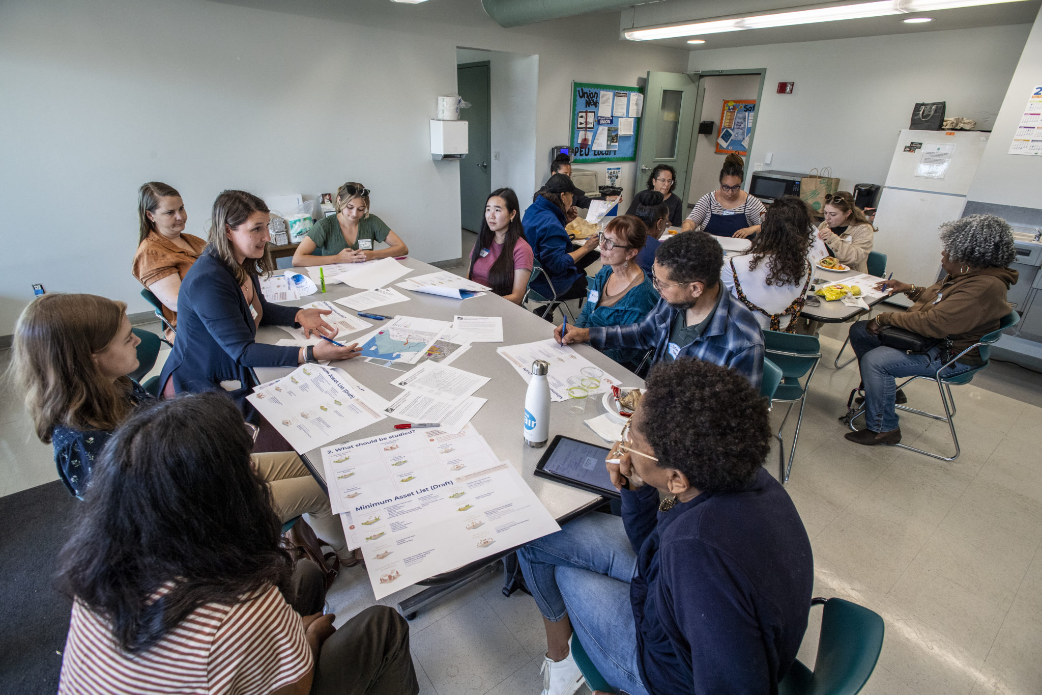
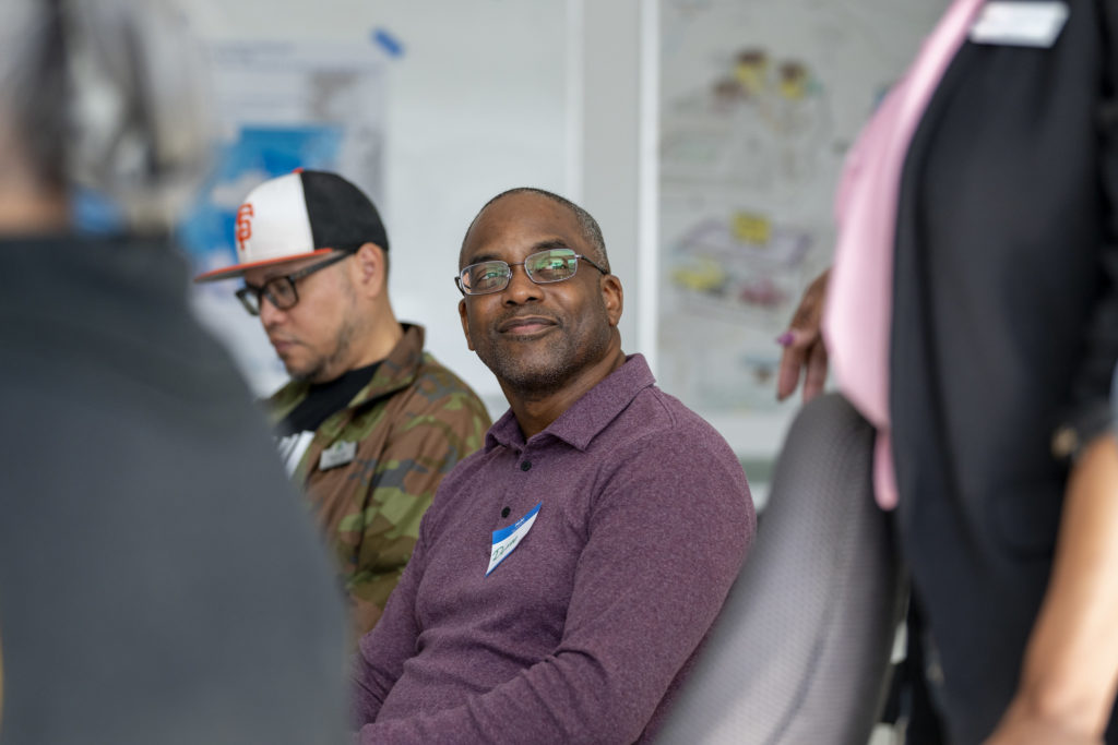
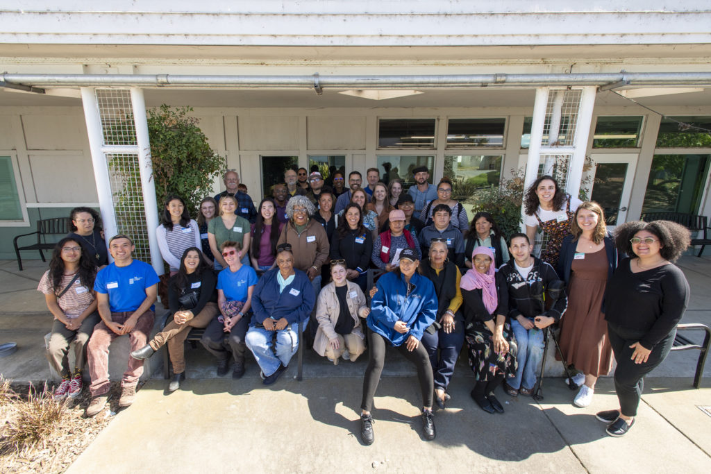
In May and Early June 2024, BCDC partnered with five Community-Based Organizations (CBOs) to co-host workshops in Bay Area shoreline communities most vulnerable to sea level rise. Workshops aimed to bring together community members, government staff, and other affected parties in each shoreline location to explore local flooding issues and build upon existing efforts on the ground. This collaboration intended to help shape and inform the development of BCDC’s Regional Shoreline Adaptation Plan (RSAP). At each of the five workshops, community members, local elected officials and government agency staff engaged in discussions around tables containing local maps highlighting community assets, sea level rise and flooding. Discussions enabled participants to exchange insights and share the unique values, conditions, and opportunities for adaptation within their communities. Feedback gathered from the workshops were used to inform BCDC’s development of the RSAP, which includes guidelines that local jurisdictions must use when developing their own local subregional shoreline adaptation plans, as required by law through SB 272.
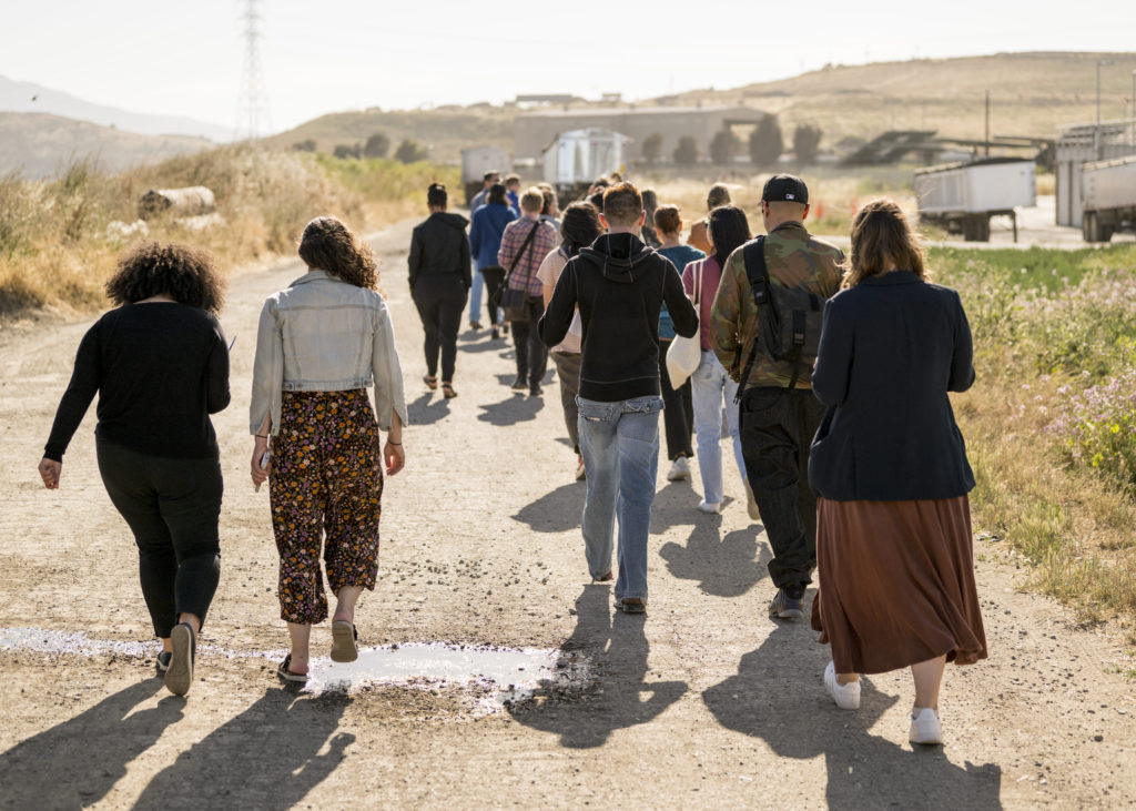
In East Palo Alto, Climate Resilient Communities hosted a workshop at l Cooley Landing. Participants started with an outdoor walk where Margaret Bruce from the San Francisquito Joint Powers Authority discussed the SAFER Bay Project. Afterwards, community members and agency staff alike collaborated to identify key assets to protect from flooding and strategize the best way to adapt their communities to sea level rise. Key themes included the need to take a holistic approach to addressing these issues and include things like housing, pollution, and toxic sites. Attendees identified key CBOs to act as information disseminators to bring community members to the table, highlighting the need to include the Polynesian community, and emphasizing the need for translating materials into multiple languages,, including Spanish. There were discussions about the need to educate youth through shoreline leadership academies, prioritize emergency access routes and consider the needs of unhoused individuals in decision-making.
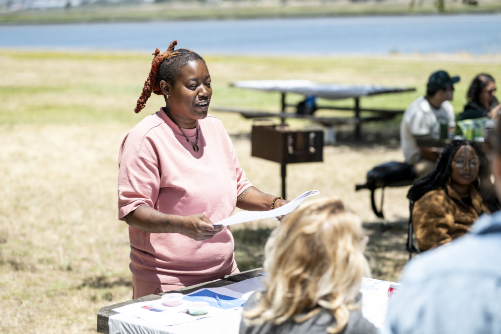
In East Oakland, Hood Planning hosted an outdoor workshop along the MLK shoreline picnic area by Arrowhead Marsh, managed by the East Bay Regional Parks District. Keta Price from the Hood Planning group talked about the many adaptation planning efforts along the shoreline, including those led by the Oakland Alameda Committee. The workshop was conducted in English and Spanish with an interpreter. Many of the Spanish speaking attendees appreciated the opportunity to discuss and weigh in on solutions for flooding issues and expressed eagerness to continue participating in future discussions. All groups expressed a strong desire to include youth and the elderly in this process. They highlighted the success of Oakland’s Shoreline leadership academy and emphasized the need for more sea level rise education and awareness. Many attendees expressed they were unaware of this information prior to this workshop and suggested it be included in information and news shared at local schools.
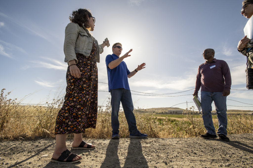
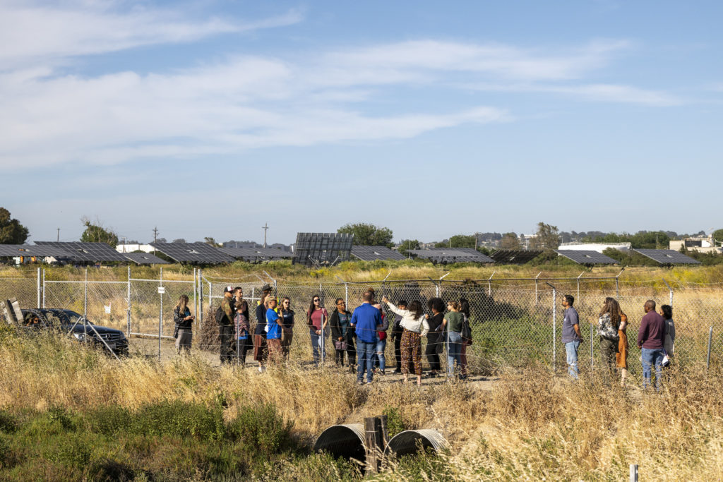
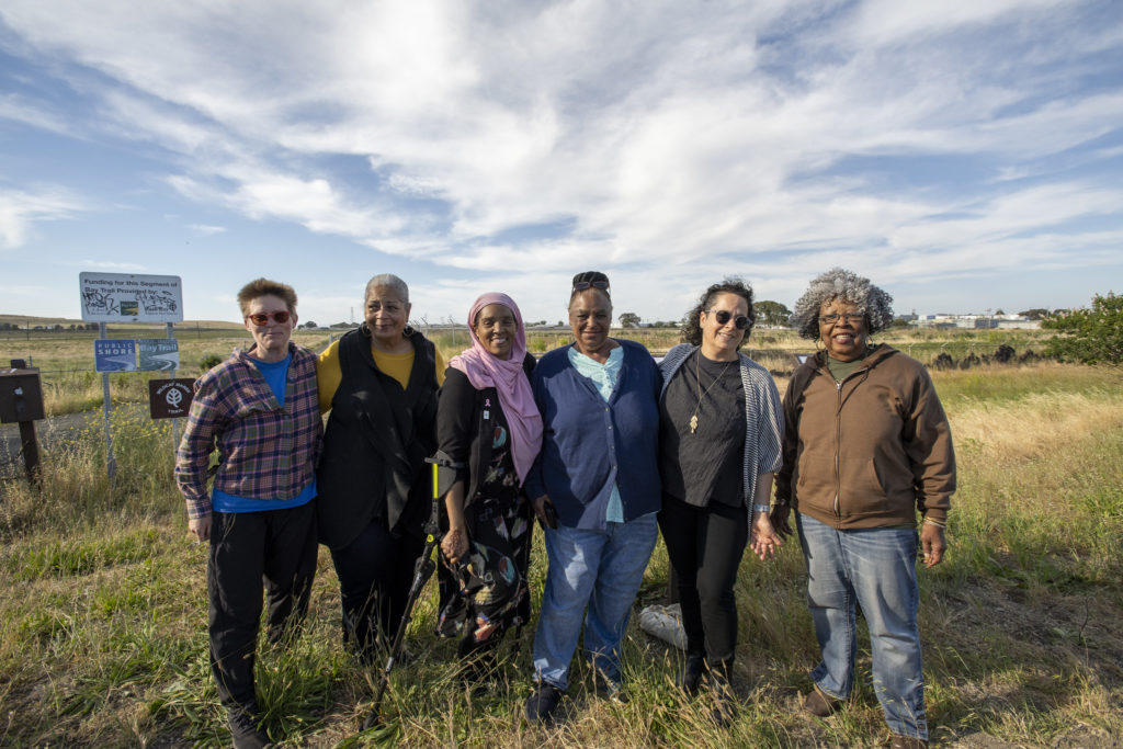
In North Richmond, The Watershed Project hosted a workshop at the West County Wastewater District Building, adjacent to the proposed North Richmond Living Levee project. Attendees learned more about the North Richmond shoreline plan, featuring a proposed “living levee” that can provide both flood protection and support wildlife habitat as sea levels rise. The workshop featured a tour of the Wastewater District’s living levee site, including a walk along the proposed alignment, a discussion on its development with the County and North Richmond community members, and next steps for the project. The tour culminated in the unveiling of a new interpretative education sign for the living levee project, designed by a local artist.The workshop provided an opportunity for North Richmond leaders in the community, local organizations, agencies, city and county officials to further discuss governance of adaptation.Workshop conversations focused on excitement for nature-based solutions to sea level rise, protecting communities from refinery toxins, and addressing the governance gap in managing multi-jurisdictional projects like the living levee.
In San Rafael, the Canal Alliance hosted a workshop in the Canal District. City of San Rafael Mayor Kate along with Marin County Supervisors Dennis Rodoni and Stephanie Moulton-Peters provided a warm welcome and thank you to participants for joining. The workshop was conducted in English and Spanish with an interpreter. The Canal Alliance then provided an introduction on the existing efforts to date on sea level rise issues in the Canal District. Community members, local elected officials, and government staff explored local maps and data to identify key concerns and opportunities. The workshop highlighted a critical need to educate community members on sea level rise and flooding issues to ensure they can meaningfully engage in the process. An important issue raised was how communities can collaborate with the City to reduce displacement, protect residents and businesses in the Canal District from flooding, and create further opportunities for community prosperity.
In Suisun City, Sustainable Solano hosted a workshop at Suisun City Hall. Suisun Mayor Alma Hernandez and Solano County Supervisor John Vasquez extended a warm welcome and their appreciation to participants for attending. Sustainable Solano, in partnership with the San Francisco Estuary Institute (SFEI) provided a presentation on existing efforts in Suisun to develop nature-based adaptation projects. Staff from Greenbelt Alliance shared further information about the Resilient Roots leadership academy that is being co-developed with Sustainable Solano.Community members, local elected officials, and government staff engaged in mapping exercises and discussions on local issues and vulnerabilities. Community members spoke about recent experiences witnessing flooding along highway 12 and how the flooding of highway 37 drastically impacts their commute. Participants were interested in bringing the farming community into the climate conversations more often, prioritizing nature based solutions without compromising existing communities, and ensuring that youth and the elderly are actively considered. They also identified a general desire for greater education and awareness of sea level rise and flooding.
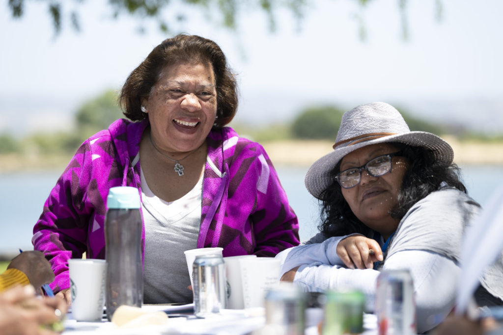
Each of the five workshops provided important opportunities for community members to engage with one another and continue the conversations with their local elected officials and government staff. The workshops also provided BCDC staff invaluable insights into the issues and opportunities that matter most to Bay Area residents. See more photos from the workshops below!
BCDC is currently in the process of developing the RSAP that includes guidelines for local planning and standards to achieve consistent and coordinated adaptation. Feedback from these workshops will inform the minimum categories and assets in planning, equity assessment, vulnerability assessments and adaptation strategy standards.
BCDC will be releasing the Regional Shoreline Adaptation Plan (RSAP) for a 30-day Public Comment period September 2024. Stay tuned!
All photos by Karl Nielsen
Zoe Siegel
Zoe Siegel is the Senior Director of Climate Resilience at Greenbelt Alliance, where she advances climate adaptation and resilience work across the organization and supports BCDC's RSAP and Bay Adapt efforts.